Geodata Examples
This page lists all geodata examples that are included in the Tinman 3D SDK.
| All 3rd party geodata that is consumed by the geodata examples is subject to the respective terms of use. The same may apply to the generated output datasets. For legal advise on how to use that data, please refer to the respective geodata provider. |
Overview
Each geodata example contains the following items:
-
Input geodata (
data/*)
In case that 3rd party geodata is not included in the SDK download, the file corresponding*.tmsscript file contains a description of the required input geodata files, and instructions on how to download them. -
Processing script (
*.tms)
The Geodata Processor can be used to run the processing scripts from the command line. The Workshop Application can be used to open the geodata examples projectsrc.twp/geodata_examples.twp, which references all processing scripts.Some geodata examples require that GDAL is installed. -
Batch file (
*.cmd)
Shows how to invoke thetinmanpctool from the command line. -
Output raster datasets (
*.hgt)
The output datasets are not included in the SDK download. They can be generated from scratch by running the processing scripts, which requires to download the input data first.Download ready-to-use output datasets here: https://data.tinman3d.online.
Download
The Demo Application will stream raster datasets from their online URLs, if they cannot be found locally. To run in offline mode, please download the datasets and put them into the corresponding SDK path:
"https://data.tinman3d.online/geo/WorldMachine/Lakes.hgt" (1)
        "$(SDK_DIR)/data.bulk/geo/WorldMachine/Lakes.hgt" (2)
//                            \________________________/
//                             This part is always identical.
| 1 | URL to the online dataset |
| 2 | Path to the dataset in the data.bulk SDK directory |
| Due to the size of the dataset files, we recommend to use a download manager that can handle broken connections. |
Alternatively, you can use the Workshop Application to bulk download all raster datasets, by running the following script target:
download_bulk (1)
src.twp/geodata_examples.tms (2)
src.twp/geodata_examples.twp (3)
| 1 | The script member to run |
| 2 | The enclosing script file |
| 3 | The enclosing Workshop Application project |
| Verify the MD5 checksum of each downloaded dataset to make sure all data has been downloaded correctly. |
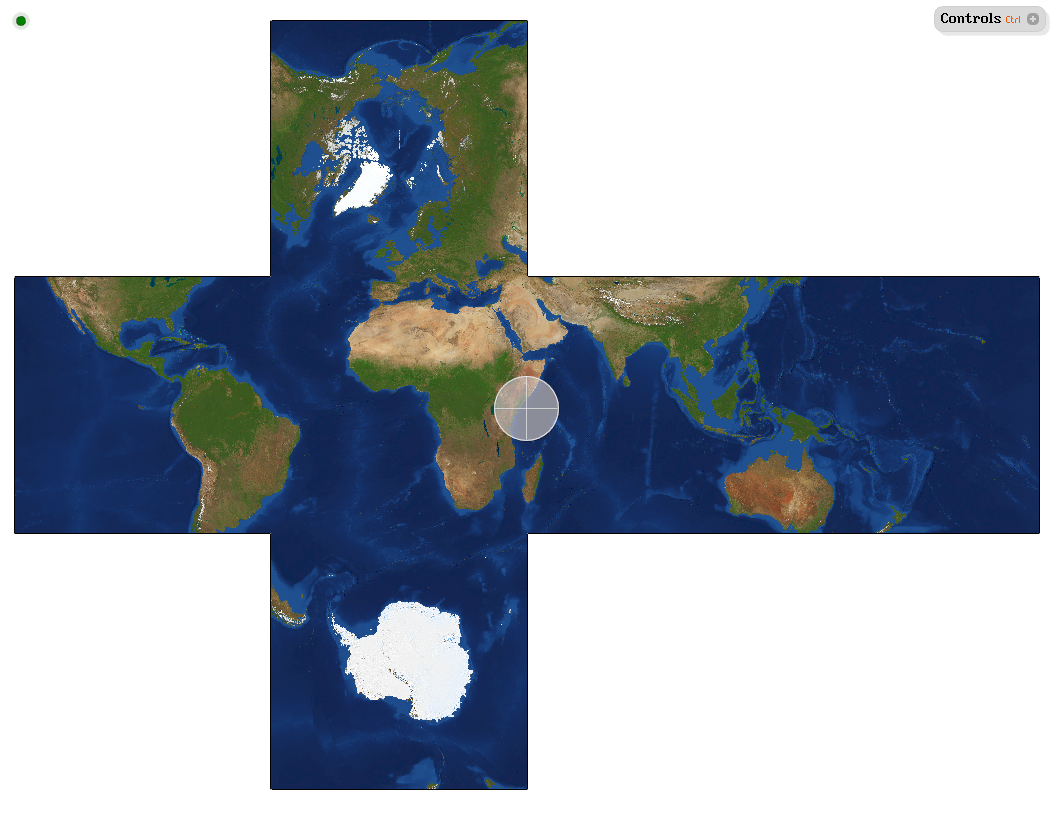
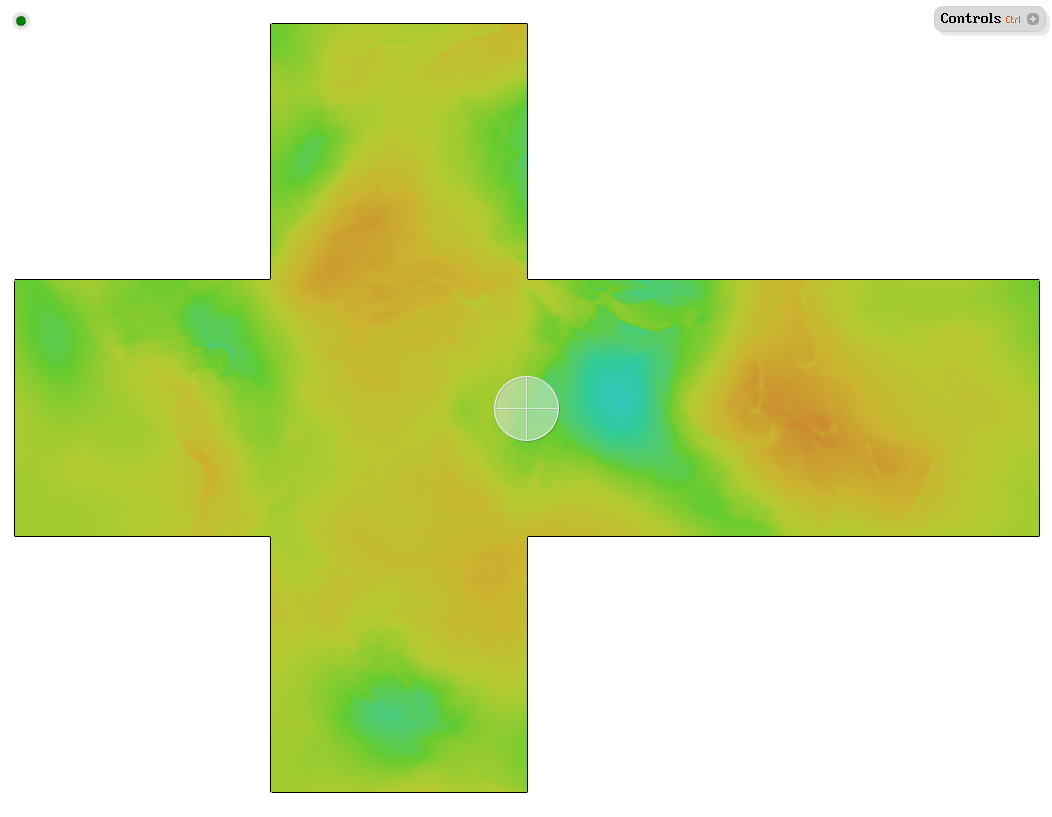
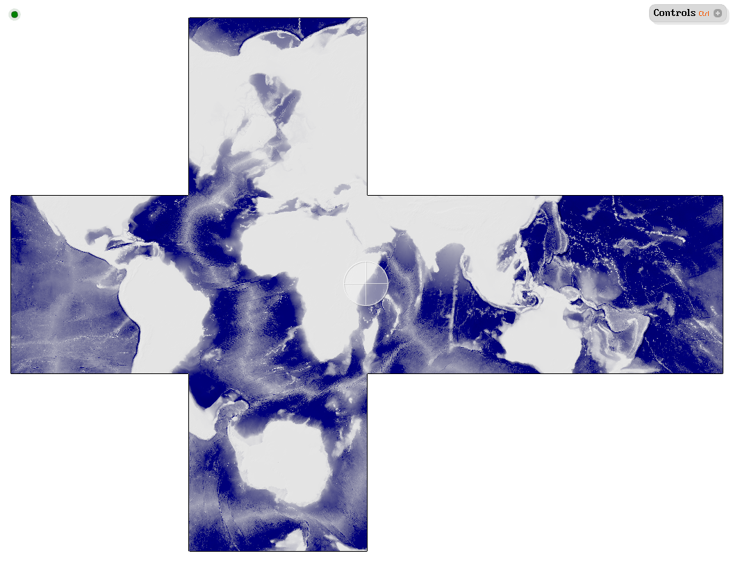
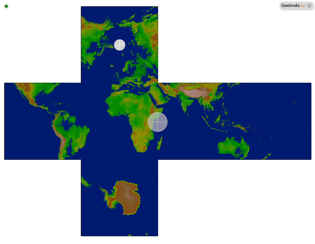
Earth
This section contains geodata examples for the Earth.
| To see this data, run the Demo Application and visit one of the predefined location bookmarks in Tutorial_23_Earth. |
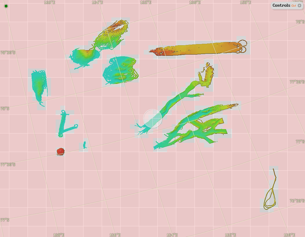
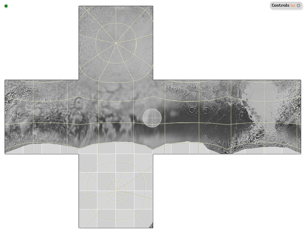
Antarctica
Input |
|
Output |
|
Script |
|
URL |
https://data.tinman3d.online/geo/Earth/Antarctica/antarctica.hgt (459 MB) |
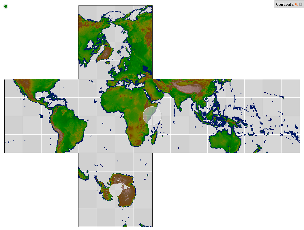
ASTER GDEM 3
Input |
|
Output |
|
Script |
|
URL |
https://data.tinman3d.online/geo/Earth/ASTER%20GDEM%203/aster_gdem_3.hgt (112 GB) |
ASTER WBD 1
Input |
|
Output |
|
Script |
|
URL |
https://data.tinman3d.online/geo/Earth/ASTER%20WBD%201/aster_wbd_1.hgt (4.2 GB) |
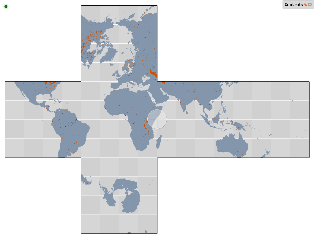
The classification codes are mapped to terrain material IDs as follows:
- Ocean
-
0% coverage
- River
-
100% coverage with material ID 1
- Lake
-
100% coverage with material ID 2
- Land
-
100% coverage with material ID 3
| To get a solid dataset, use material swizzle to turn coverage into material ID 0. |
Black Marble
Input |
|
Output |
|
Script |
|
URL |
https://data.tinman3d.online/geo/Earth/BlackMarble/blackmarble.hgt (220 MB) |

Blue Marble 2
Input |
|
Output |
|
Script |
|
URL |
https://data.tinman3d.online/geo/Earth/BlueMarble%202/bluemarble2.hgt (1.3 GB) |
EGM2008
Input |
|
Output |
|
Script |
|
URL |
https://data.tinman3d.online/geo/Earth/EGM2008/egm2008.hgt (23.2 MB) |

EGM96
Input |
|
Output |
|
Script |
|
URL |
https://data.tinman3d.online/geo/Earth/EGM96/egm96.hgt (2.0 MB) |
Elevation1
Input |
|
Output |
|
Script |
|
URL |
https://data.tinman3d.online/geo/Earth/Elevation1/elevation1.dem.hgt (248 MB) https://data.tinman3d.online/geo/Earth/Elevation1/elevation1.img.hgt (1.3 GB) |
GEBCO
Input |
|
Output |
|
Script |
|
URL |
https://data.tinman3d.online/geo/Earth/GEBCO/gebco.hgt (1.6 GB) |
GMTED2010
Input |
|
Output |
|
Script |
|
URL |
https://data.tinman3d.online/geo/Earth/GMTED%202010/gmted2010.ds30.hgt (157 MB) https://data.tinman3d.online/geo/Earth/GMTED%202010/gmted2010.ds15.hgt (517 MB) https://data.tinman3d.online/geo/Earth/GMTED%202010/gmted2010.ds75.hgt (1.8 GB) |
Landsat 7 ETM+
Input |
|
Output |
|
Script |
|
URL |
https://data.tinman3d.online/geo/Earth/Landsat/landsat.hgt (554 MB) |

MODIS Water Mask
Input |
|
Output |
|
Script |
|
URL |
https://data.tinman3d.online/geo/Earth/MODIS%20Water/modis_water.hgt (90.3 MB) |
NED 1/3"
Input |
|
Output |
|
Script |
|
URL |
https://data.tinman3d.online/geo/Earth/NED%2013/ned13.hgt (31.9 GB) |
NED 1/9"
Input |
|
Output |
|
Script |
|
URL |
https://data.tinman3d.online/geo/Earth/NED%2019/ned19.hgt (42.6 GB) |
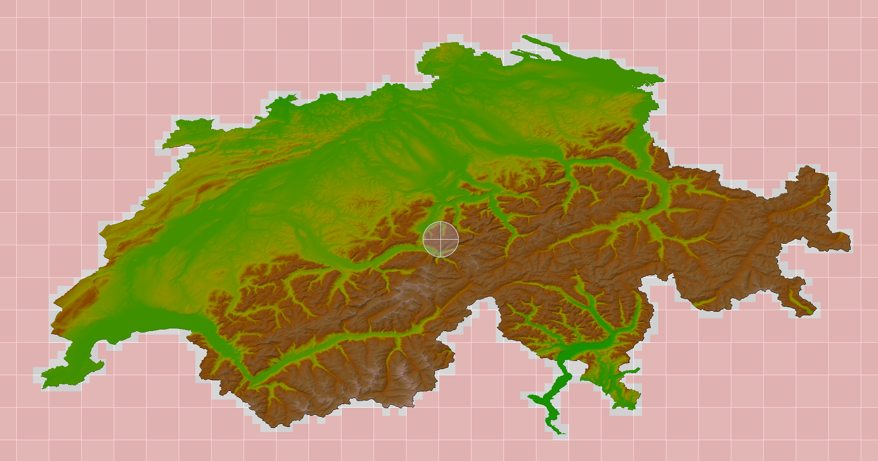
swissALTI3D
Input |
|
Output |
|
Script |
|
URL |
https://data.tinman3d.online/geo/Earth/swissALTI%203D/swissalti_3d.hgt (136 GB) |
Mars
This section contains geodata examples for Mars.
| To see this data, run the Demo Application and visit one of the predefined location bookmarks in Tutorial_25_Mars. |
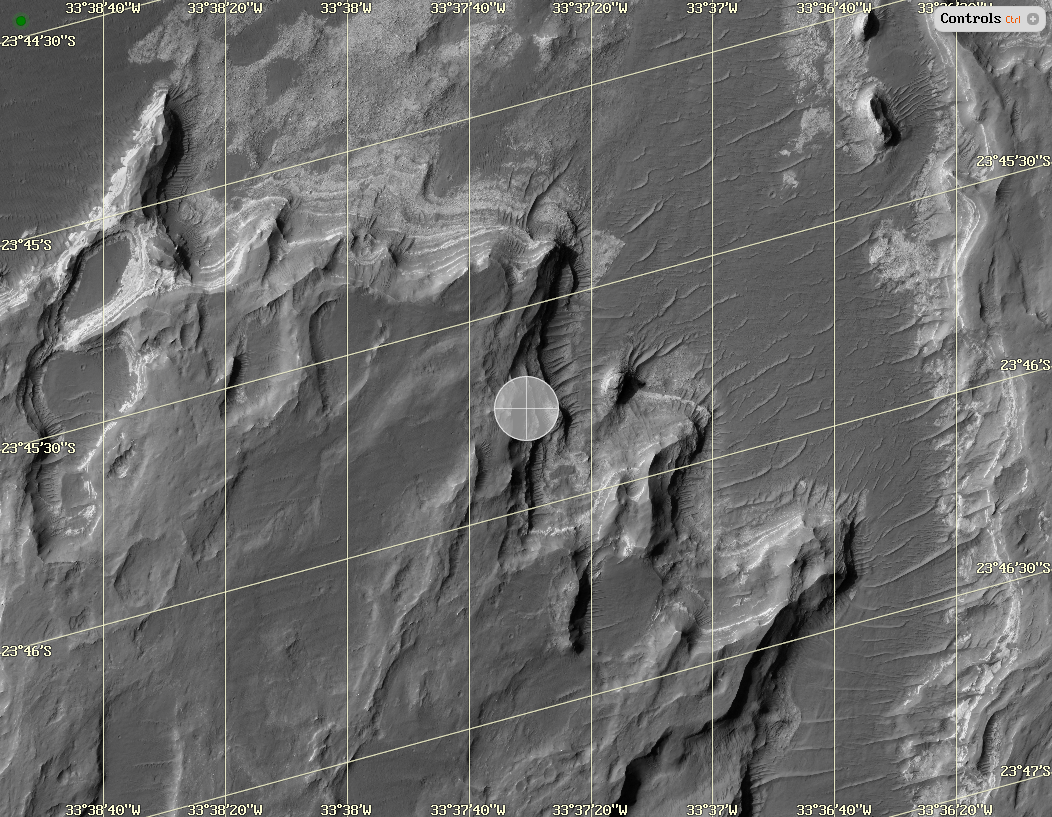
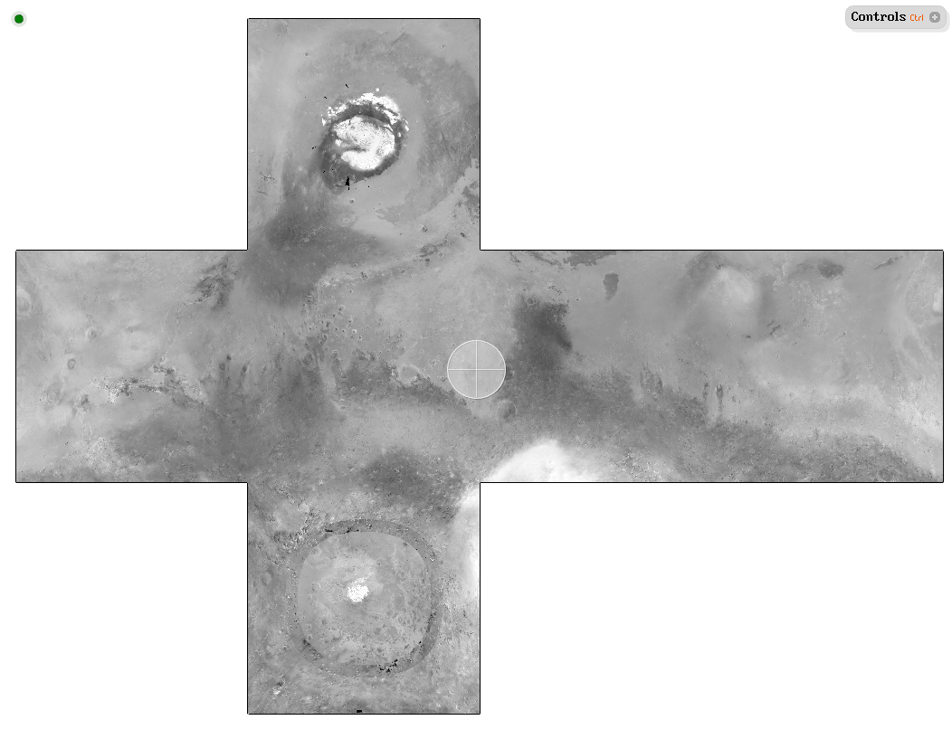
HiRISE
Input |
|
Output |
|
Script |
|
URL |
https://data.tinman3d.online/geo/Mars/HiRISE/hirise.hgt (395 MB) https://data.tinman3d.online/geo/Mars/HiRISE/hirise.dtm.hgt (57.8 MB) |
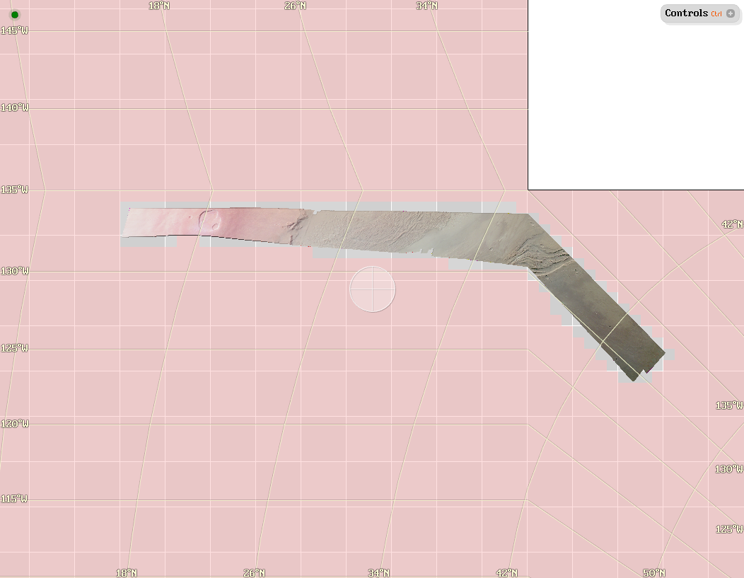
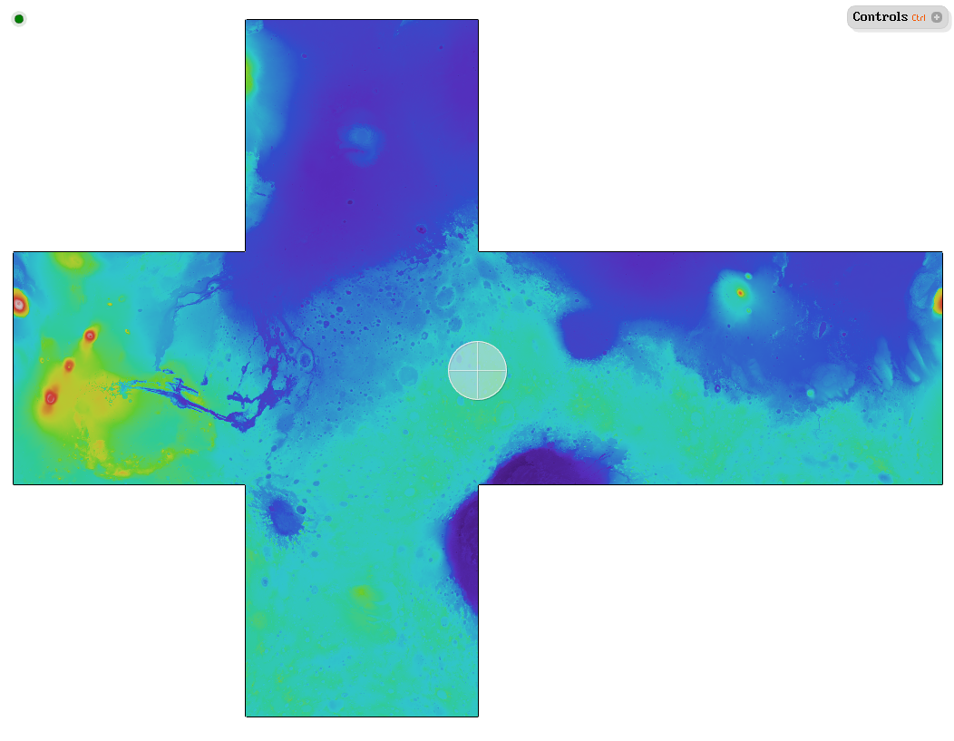
Mars Express
Input |
|
Output |
|
Script |
|
URL |
https://data.tinman3d.online/geo/Mars/MarsExpress/mex.hgt (65 MB) https://data.tinman3d.online/geo/Mars/MarsExpress/mex.dtm.hgt (38.5 MB) |
Mars Digital Image Model
Input |
|
Output |
|
Script |
|
URL |
https://data.tinman3d.online/geo/Mars/MDIM/mdim.hgt (2.9 GB) |
Mars Orbiter Camera
Input |
|
Output |
|
Script |
|
URL |
Mars Orbiter Laser Altimeter
Input |
|
Output |
|
Script |
|
URL |
https://data.tinman3d.online/geo/Mars/MOLA/mola.hgt (1.3 GB) |
Moon
This section contains geodata examples for the Moon.
| To see this data, run the Demo Application and visit one of the predefined location bookmarks in Tutorial_24_Moon. |
Lunar Recon. Orbiter Camera

Other
This section contains miscellaneous geodata examples.
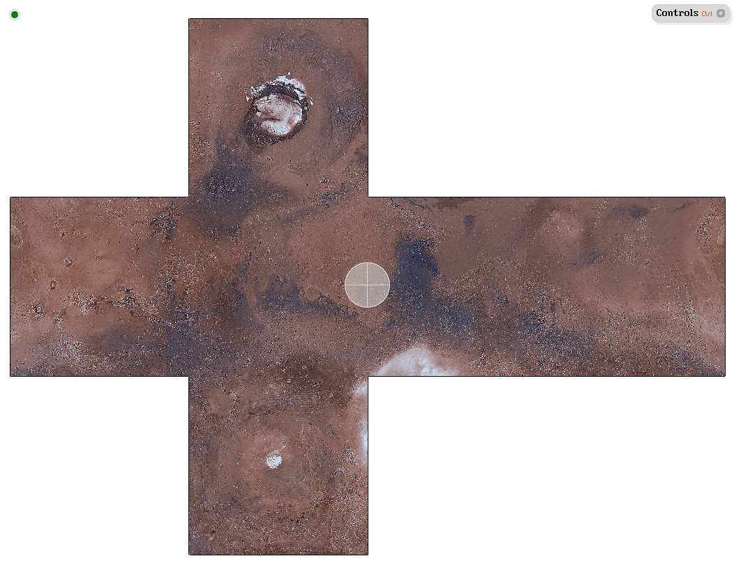
Bennu
Input |
|
Output |
|
Script |
|
URL |
Mercury
Input |
|
Output |
|
Script |
|
URL |
https://data.tinman3d.online/geo/Mercury/mercury.dem.hgt (127 MB) |
New Horizons
Input |
|
Output |
|
Script |
|
URL |
https://data.tinman3d.online/geo/Pluto/NewHorizons/charon.dem.hgt (20.6 MB) https://data.tinman3d.online/geo/Pluto/NewHorizons/charon.img.hgt (23.5 MB) https://data.tinman3d.online/geo/Pluto/NewHorizons/pluto.dem.hgt (202 MB) https://data.tinman3d.online/geo/Pluto/NewHorizons/pluto.img.hgt (102 MB) |
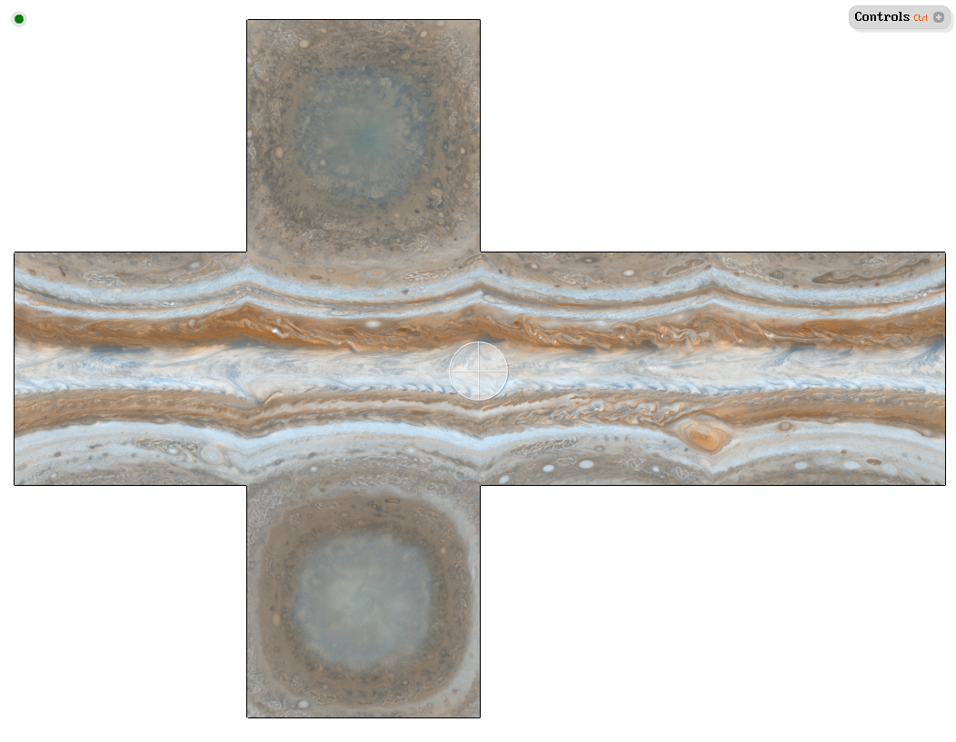
Planets
Input |
|
Output |
|
Script |
|
URL |
https://data.tinman3d.online/geo/Planets/Jupiter.hgt (25.6 MB) https://data.tinman3d.online/geo/Planets/Mars.hgt (117 MB) https://data.tinman3d.online/geo/Planets/Mercury.hgt (1.5 MB) https://data.tinman3d.online/geo/Planets/Neptune.hgt (349 KB) https://data.tinman3d.online/geo/Planets/Pluto.hgt (3.1 MB) https://data.tinman3d.online/geo/Planets/Saturn.hgt (1.2 MB) https://data.tinman3d.online/geo/Planets/Sun.hgt (767 KB) https://data.tinman3d.online/geo/Planets/Uranus.hgt (176 KB) |
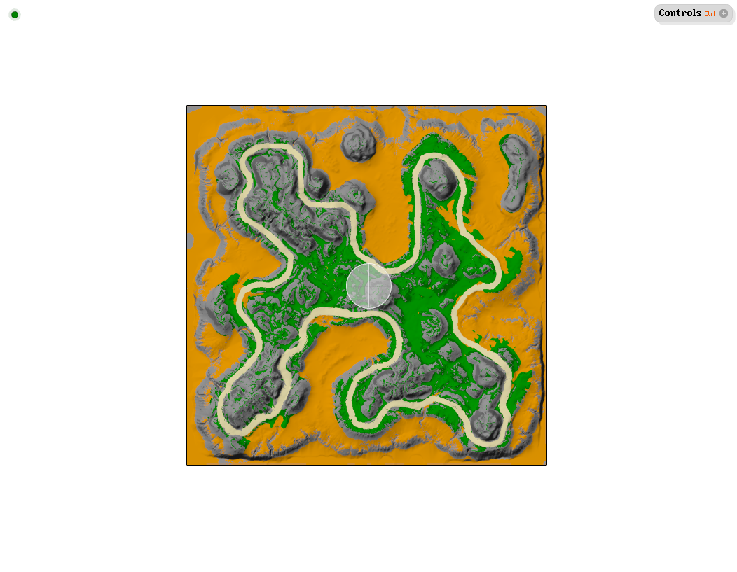
Racing Track
Input |
|
Output |
|
Script |
|
URL |
https://data.tinman3d.online/geo/RacingTrack/RacingTrack.hgt (2.8 MB) |
Released under creative commons Attribution 3.0 Unported license (CC-BY 3.0)
"This license is acceptable for Free Cultural Works.
You are free:
to Share - to copy, distribute and transmit the work
to Remix - to adapt the work
to make commercial use of the work
Under the following conditions:
You must attribute the work in the manner specified by the author or licensor (but not in any way that suggests that they endorse you or your use of the work)"
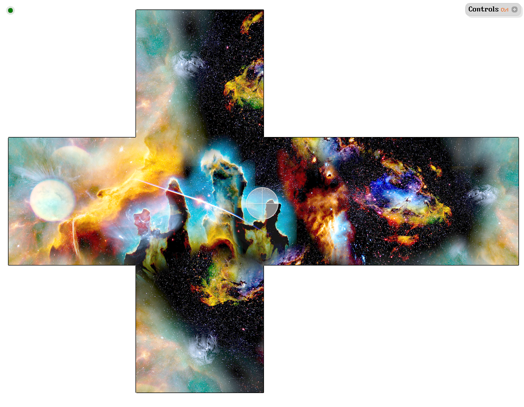
Skybox
Input |
|
Output |
|
Script |
|
URL |
https://data.tinman3d.online/geo/Skybox/Skybox.hgt (12.7 MB) |
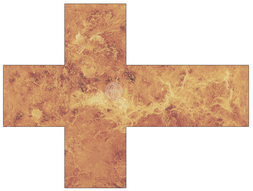
Venus
Input |
|
Output |
|
Script |
|
URL |
https://data.tinman3d.online/geo/Venus/venus.dem.hgt (28.3 MB) https://data.tinman3d.online/geo/Venus/venus.img.hgt (48.6 MB) |
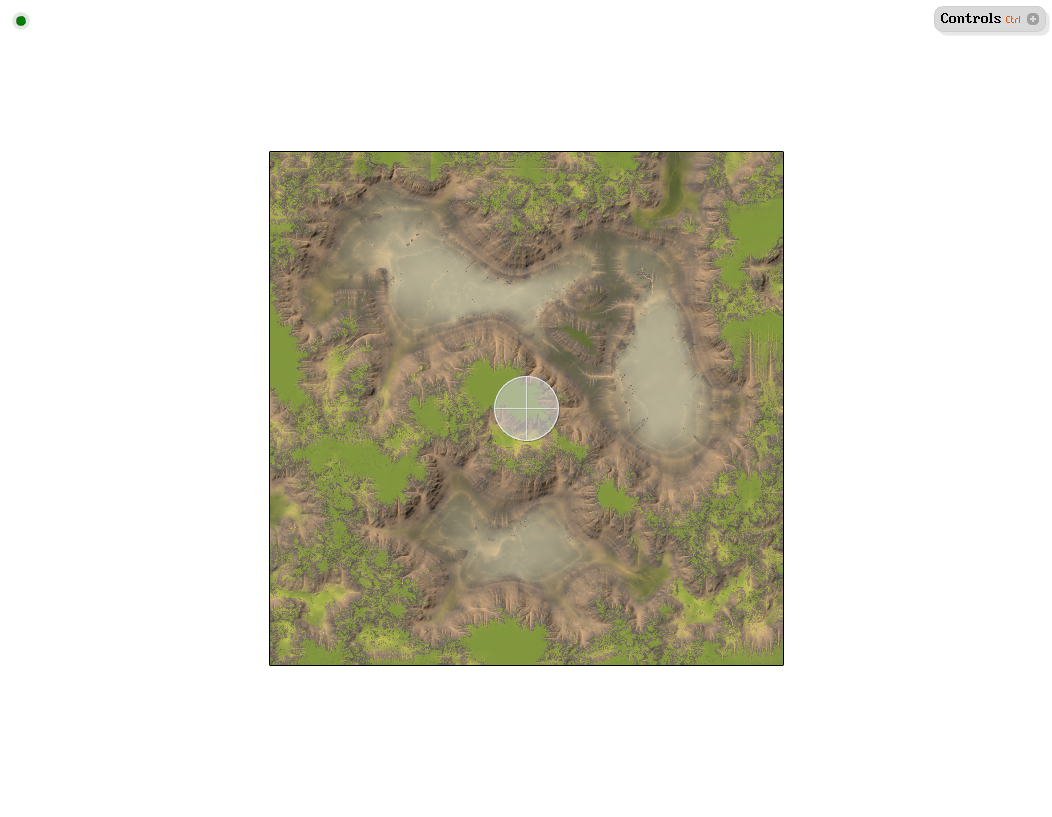
World Machine
Input |
|
Output |
|
Script |
|
URL |
https://data.tinman3d.online/geo/WorldMachine/Lakes.hgt (474 MB) |
Commercial
This section shows some examples for high-quality commercial geodata.
Typically, commercial geodata is properly geo-referenced and is delivered in handy pieces.
Airbus Defence & Space
Elevation1 Digital Surface Model
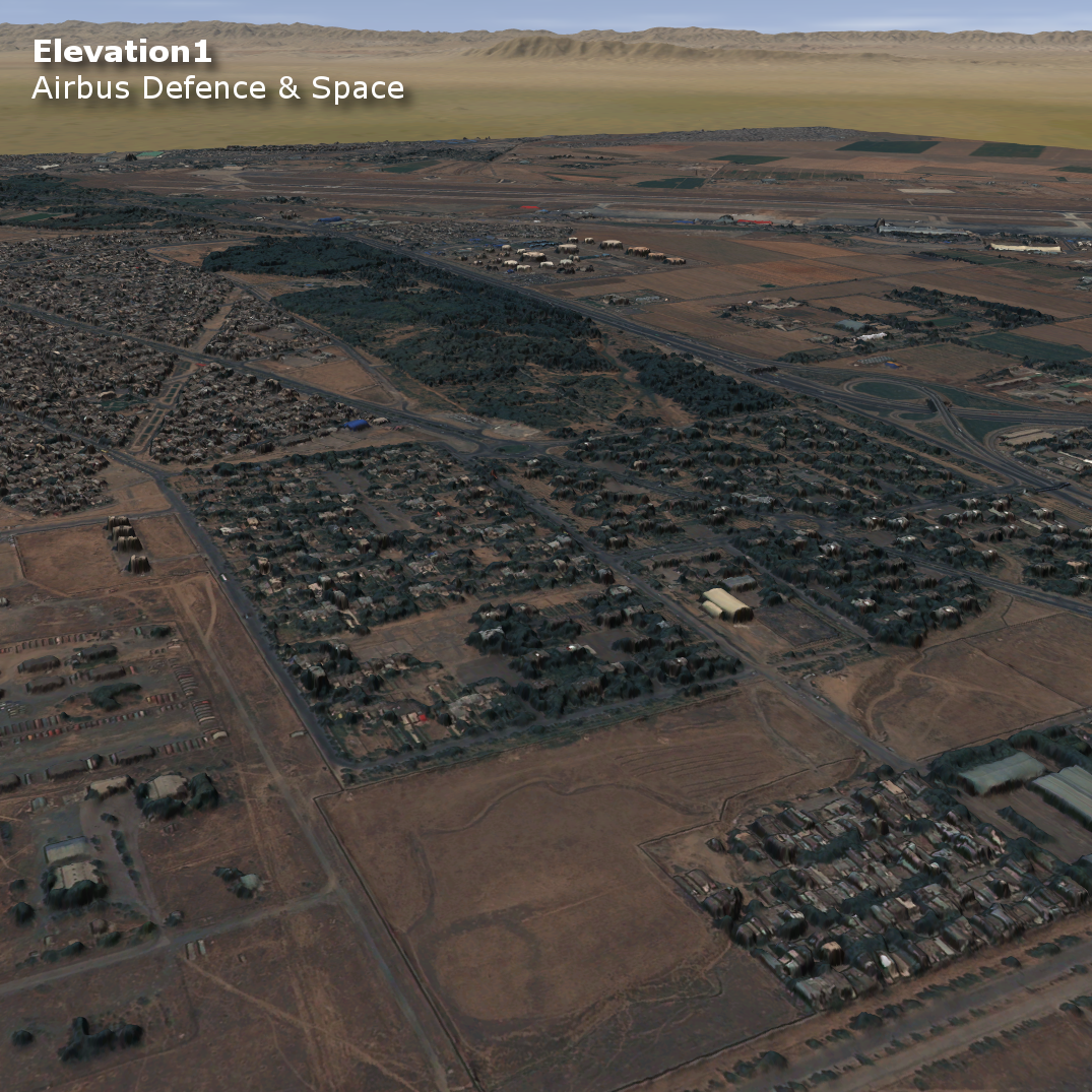
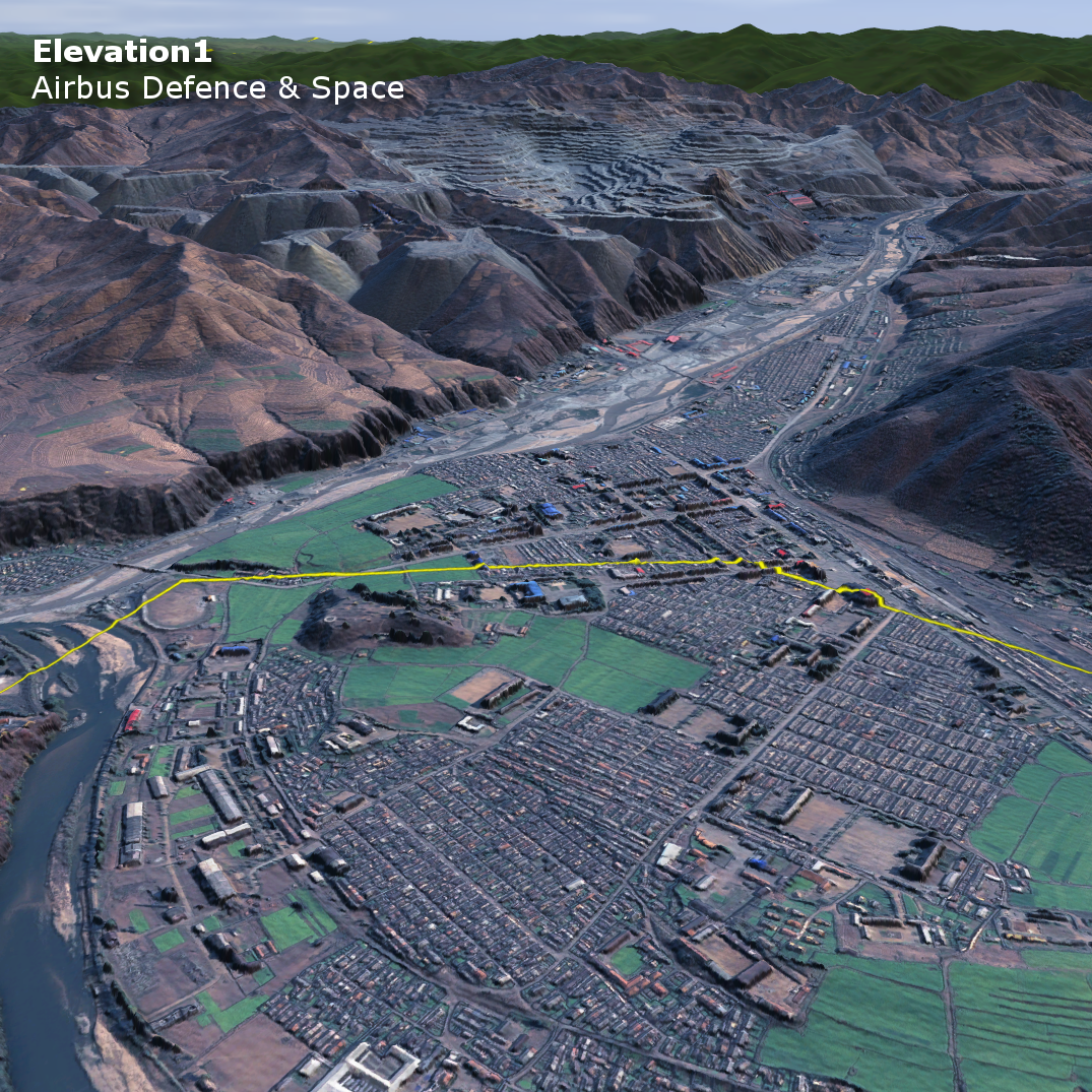
This geodata product comes in handy pieces of 1m DEM and 50 cm imagery.
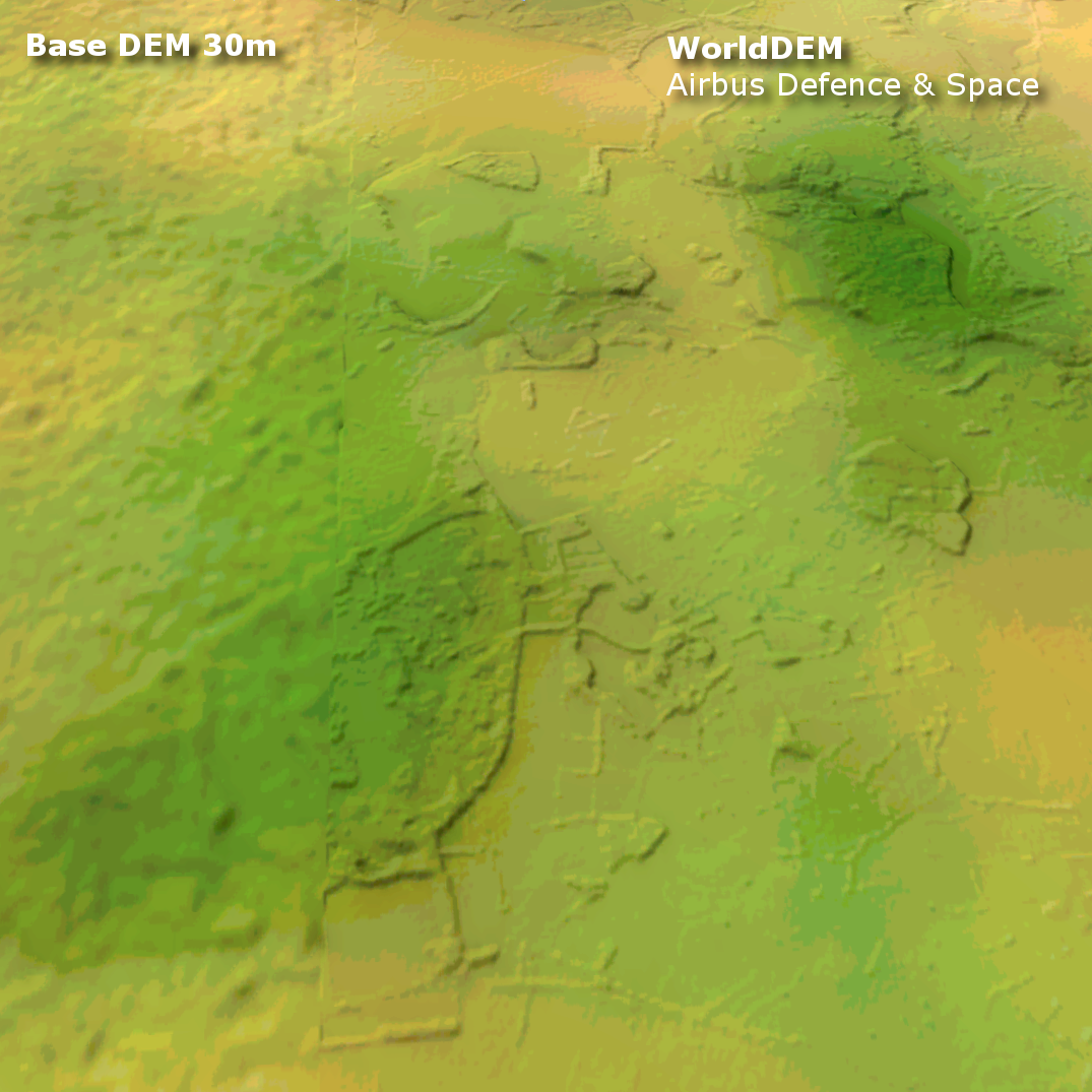
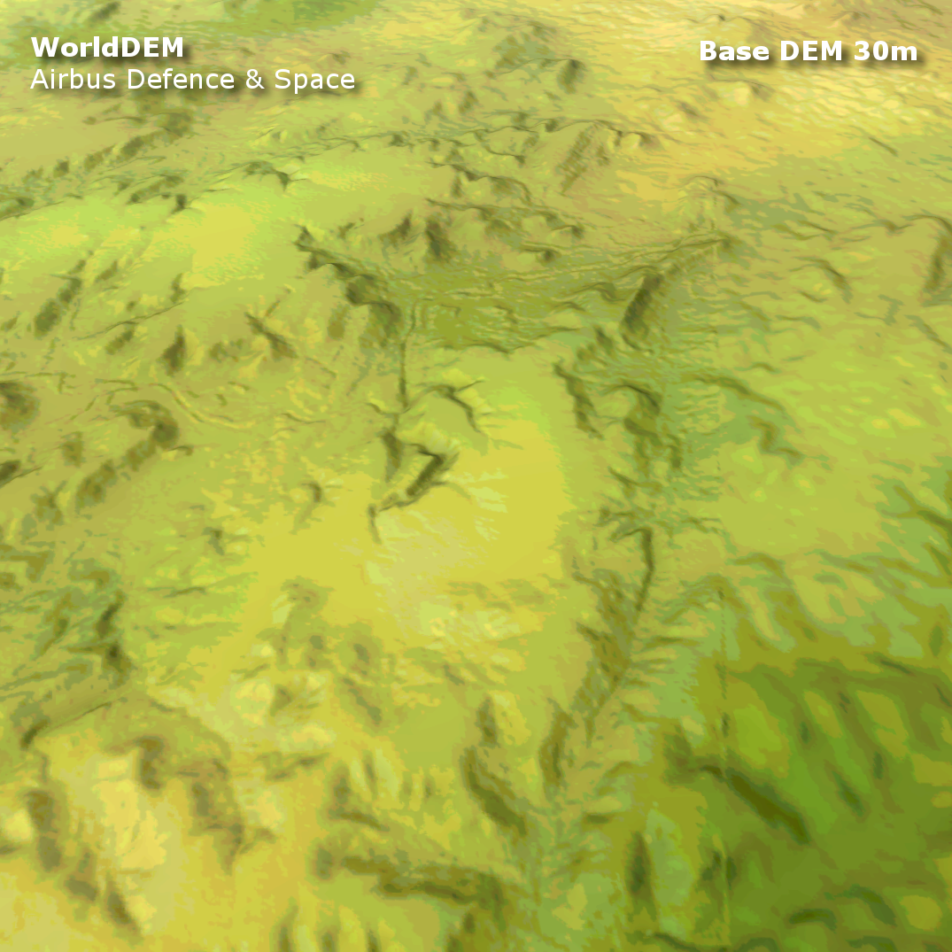
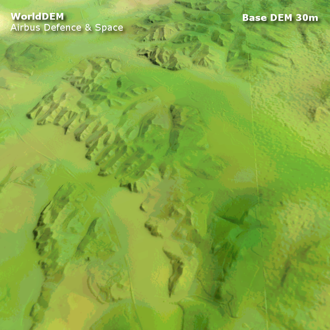
WorldDEM™
This geodata product is a global 12m DEM.
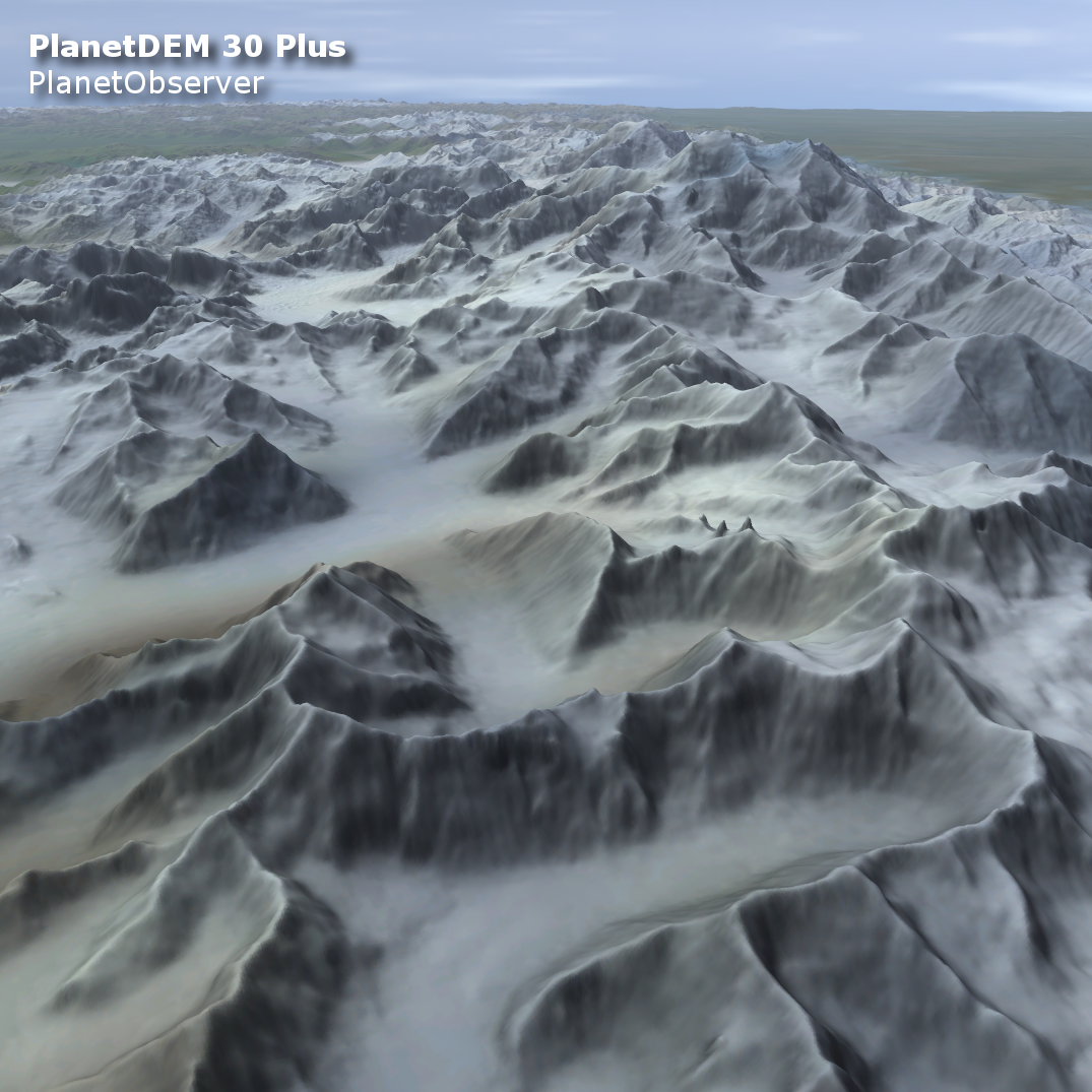
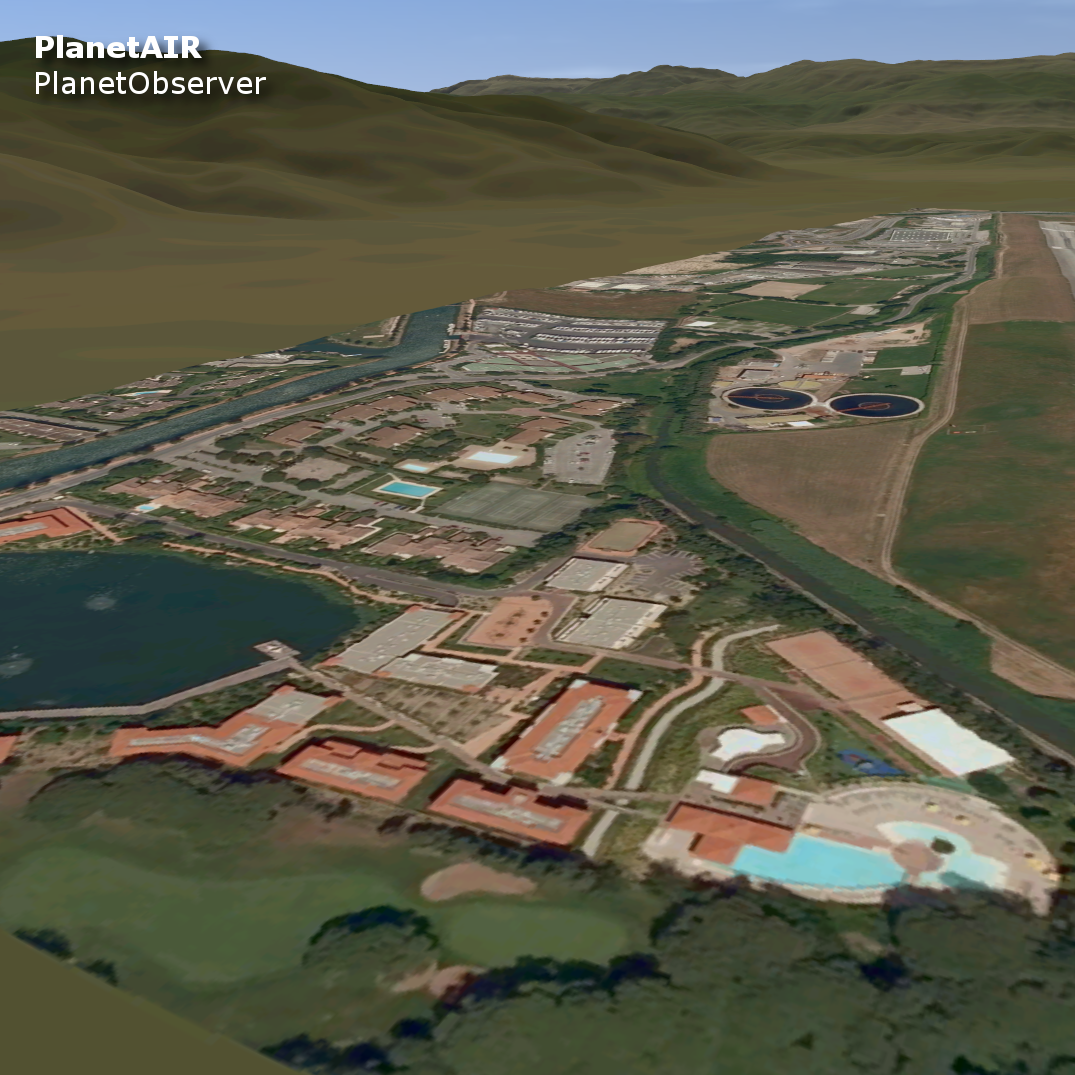
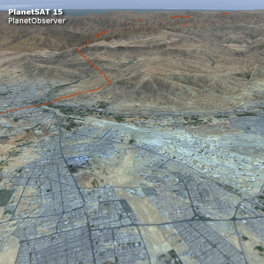
PlanetObserver
This geodata is nicely wrapped in GeoTIFFs, which can be imported on-the-fly.
VHR Imagery - "Very High Resolution Imagery on Demand"
PlanetSAT - "Global Satellite Imagery Basemap"
The PlanetSAT product is a direct high-quality replacement for the free Landsat7 imagery.
PlanetDEM - "Enhanced Global Digital Elevation Model"
The PlanetDEM product is a direct high-quality replacement for the free ASTER GDEM 3.